


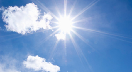
Sun, heat and high temperatures. That's the weather forecast for the coming period.
”"It is expected to be the warmest in Värmland," says meteorologist Erik Höjgård-Olsen.
The last few days Most of Sweden has been in a high-pressure dominated weather situation. And it will remain so for the foreseeable future.
”"It is at the beginning of week 25 that things may start to ease up, but there is uncertainty around that forecast because it is far in advance," says Erik Höjgård-Olsen, meteorologist at SMHI.
The high pressure means that the dry and sunny weather will remain and there will in principle be no deviations from sunny or clear weather. Neither during the day nor at night.
”"What breaks the trend is Sunday afternoon. Then a cold front approaches from the west and will pass over northern Norrland. But it looks like it will mainly bring denser clouds and light rain in parts of the mountain range."”
Erik Höjgård-Olsen continues:
”"But apart from that rain, there is basically no rain in all of Sweden. There may be some light showers or some cumulus clouds, but it is generally more difficult to get significant precipitation."”
Starting Tuesday, temperatures are expected to reach 25 degrees in Götaland, Svealand and Gävleborg counties. Then temperatures will move further north.
”"This will continue through Friday, Saturday and perhaps Sunday. Then the temperature could rise further, towards 30 degrees."”
This means that there could be a heat wave in Sweden next week – that is, we have had a period of at least 25 degrees for at least five days.
”"On Saturday next week we can determine whether we have had a heat wave or not."”
Source: TT-DI.SE